
Aerial Drone Mapping
We believe we can help you whether you are a construction company, real estate company, or event coordinator we have a service to help you. Look below and see where we can help you!
2D Mapping
We deliver exceptional quality 2-dimentional maps that are are pixel accurate down to the centimeter
3D Gaussian Splat Mapping
We use DJI Terra software to create complex 3D maps of areas that allow for a full image of what an area looks like based on elevation and other things
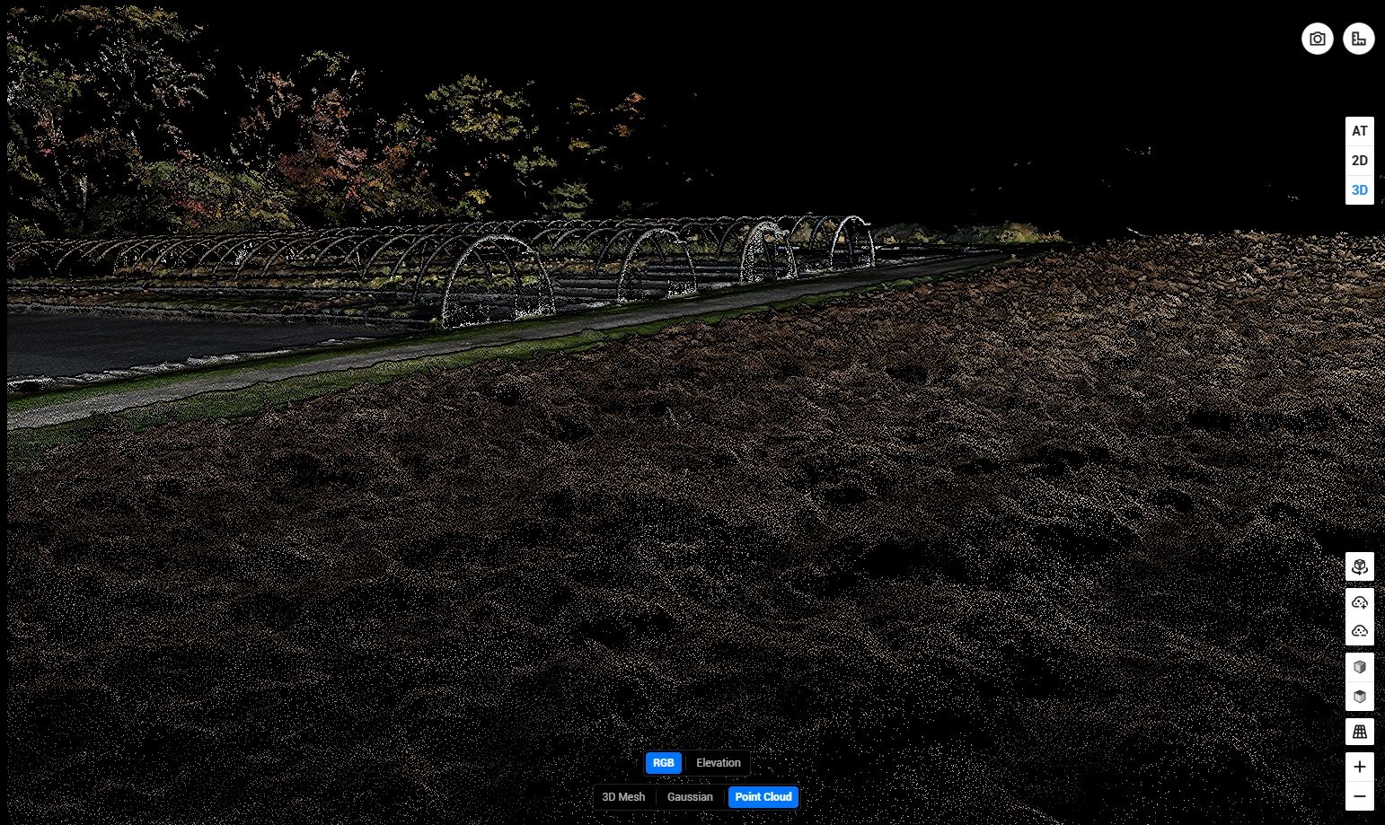
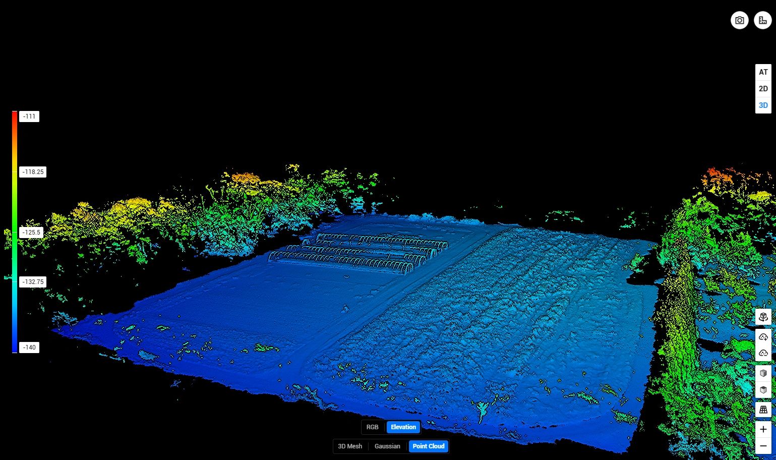
Point Cloud
We use point cloud to allow companies to see specific points that go into Gaussian splatting and have a very accurate understanding of an area.
Aerial Drone Mapping
Weekly Site Progress

Site progression is an important tool as it allows everyone with the project to know where things are at. It also can help to settle disputes over the amount of work done or help to see what needs doing next.
Real Estate
With a drone real you can elevate real estate photography whether that is residential or comercial through the new perspectives it brings. It allows potential buyers to see it in a new way and good aerial photos and video can bring your listing to the top.
Detailed Maps For Knowledge of Sites

One thing on a site that is important is that everyone knows what is going on. Buy having a drone service coming weekly or biweekly it allows everyone at the site to stay up to date about where the project is at. Maybe the construction manager wants to know how many houses have finished roofs or the client wants to see how their building is coming along 2D high-resolution maps can help with that.
Takeoff Calculations /Stockpiles
Drone are a useful part even before the job has started. By using a drone at the start and throughout the process you can document how much dirt there is that needs to be added or removed. By flying a lot you can see how that changes throughout the process of the build allowing up-to-date information for everyone involved. This can also be used to show that you met your deliverables on a site.
Environmental Compliance
Drones make post-rain construction inspections faster, and more efficient by quickly capturing high-resolution aerial images of erosion, flooding, and damaged drainage systems. They help construction companies meet environmental regulations by identifying problems in hard-to-reach areas and providing GPS-tagged, time-stamped evidence for compliance reports. Drones can also track water accumulation or erosion with before and after photos helping companies prevent environmental violations, reduce inspection costs.
Item Tracking
Getting areal images of a jobs site allows you to get data on what is there like how many reels of wire or how many pallets of something are still on the site. It also allows you to do lot tracking and give an update on where each lot is at in building process
Point Cloud/Elevation


Elevate Real Estate with Drone Photography

Aerial Images
LG Drone Photography specializes in capturing aerial property photography and videography, showcasing the full layout, setting, and scale of each location. Our drone mapping services provide unique views that traditional cameras cannot achieve, while stunning drone images and videos elevate listings. Additionally, our skilled drone videographer can perform thorough inspections from the sky, making it an invaluable tool for understanding properties in depth.